A couple of weeks ago I returned to the Sabino Canyon Recreation Area to hike the ~6-mile roundtrip Blackett’s Ridge. You may remember the previous hike through Bear Canyon to Seven Falls. Blackett’s Ridge, between Bear Canyon and Sabino Canyon, offers stunning views into the two canyons as well as back over the city of Tucson.
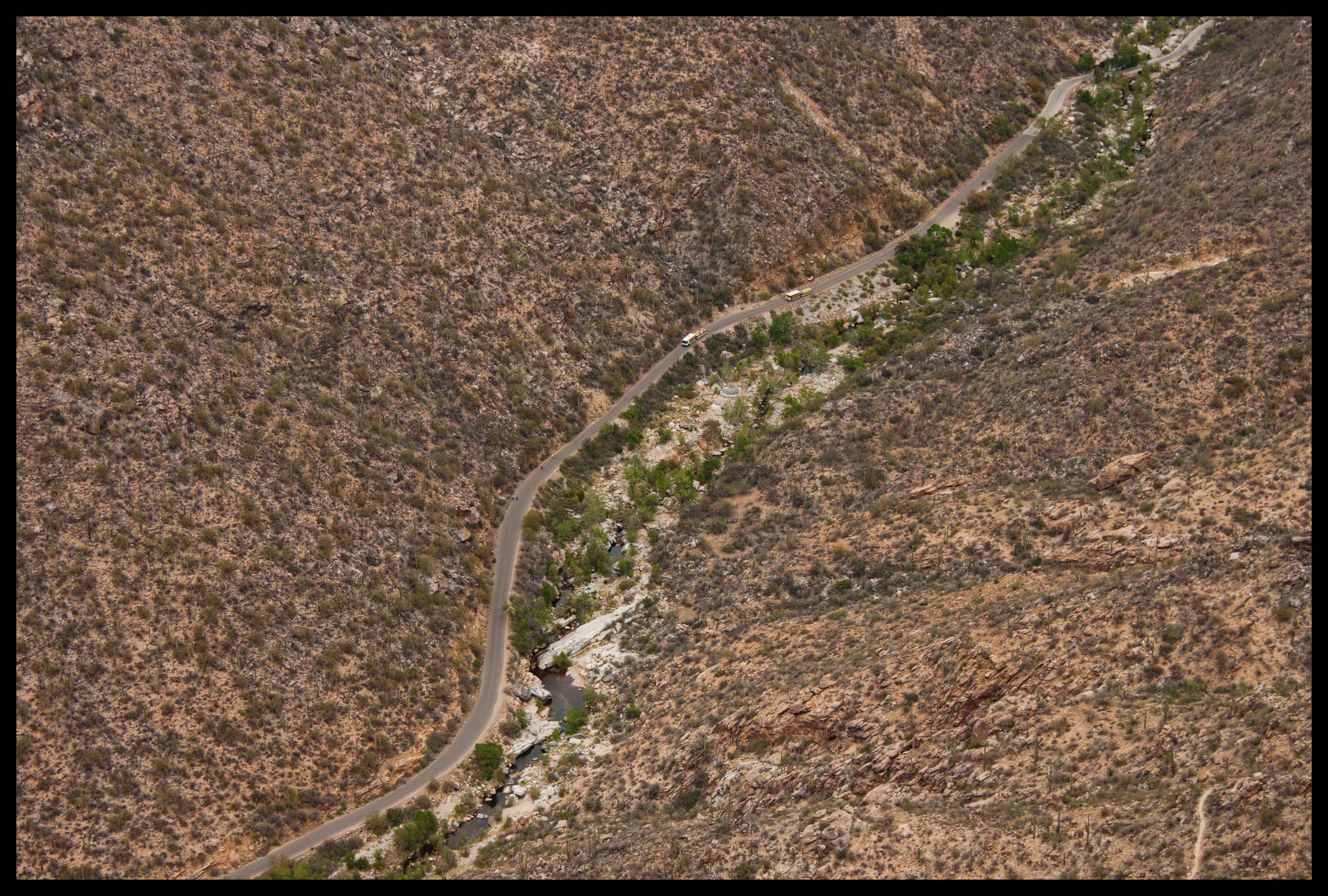
Again, parking at the recreation area is $5/day. If the lot is already full, they’ll close the pay stand and let you circle until finding a space, at which point you go to the Visitor Center to get a parking pass. The online map doesn’t show the trail to Blackett’s Ridge; it is in between Bear Canyon Trial and the Telephone Line Trail. After walking the flat 0.8-mile section from the Visitor Center, you cross Sabino Dam, as if you’re on your way to Seven Falls.

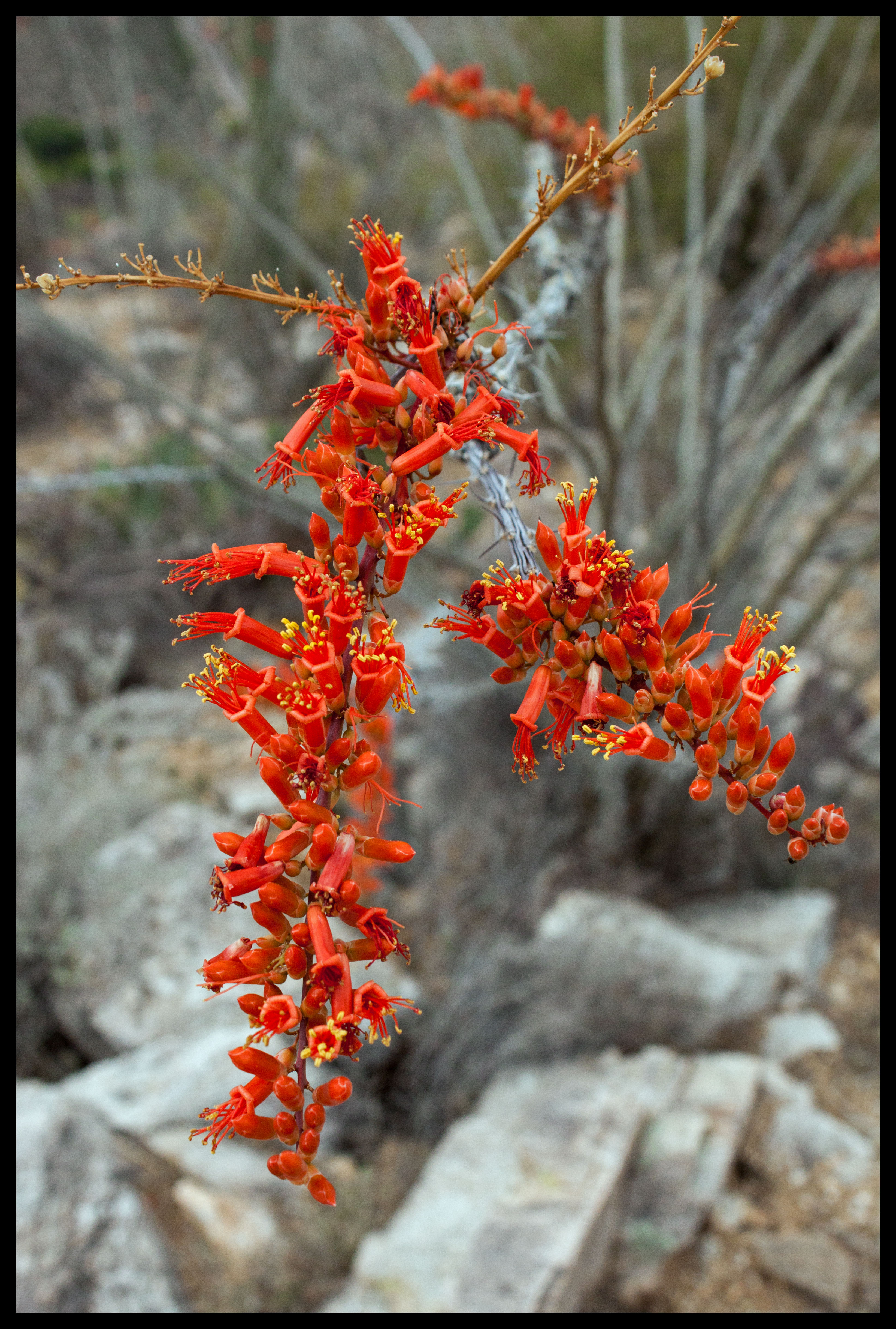
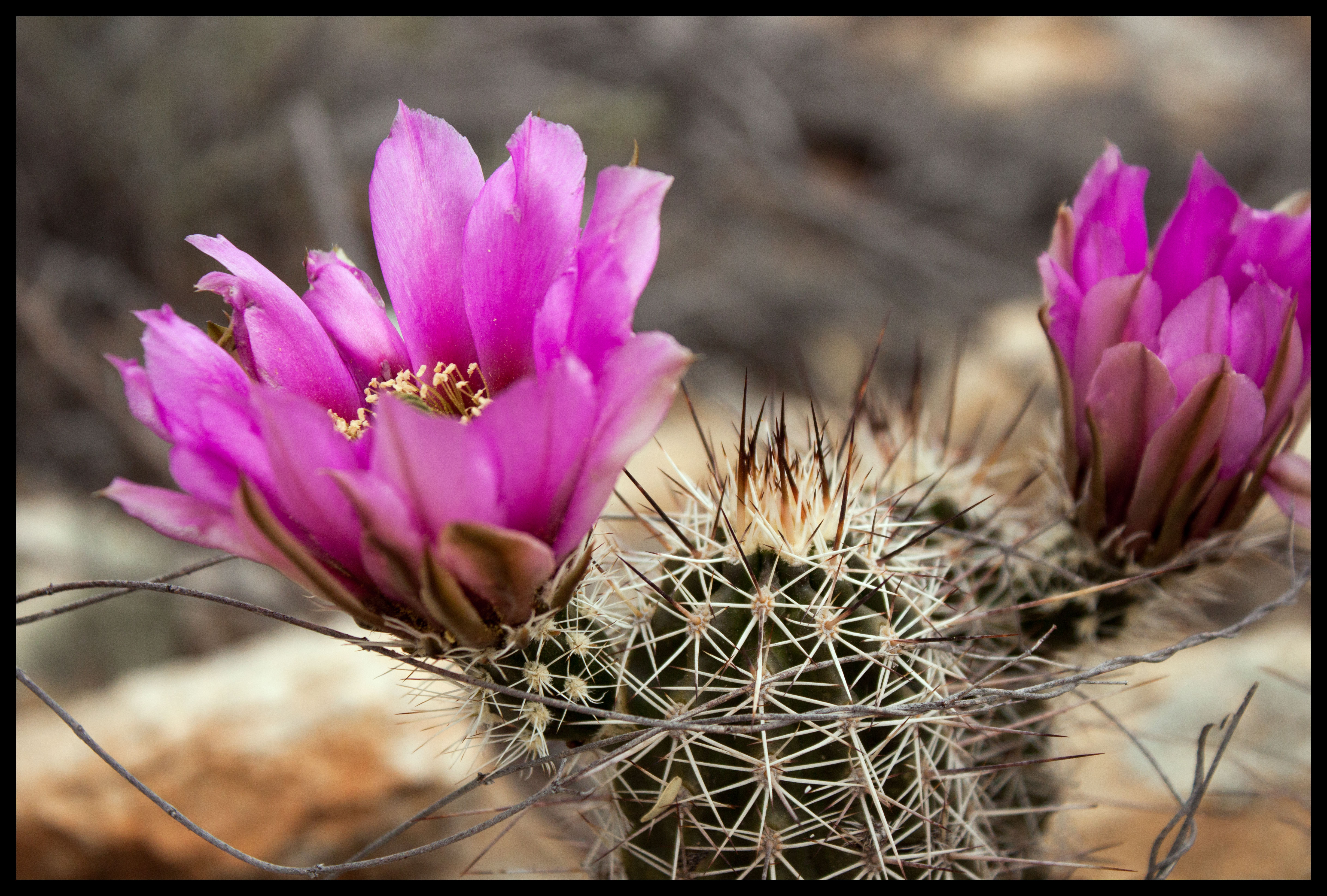
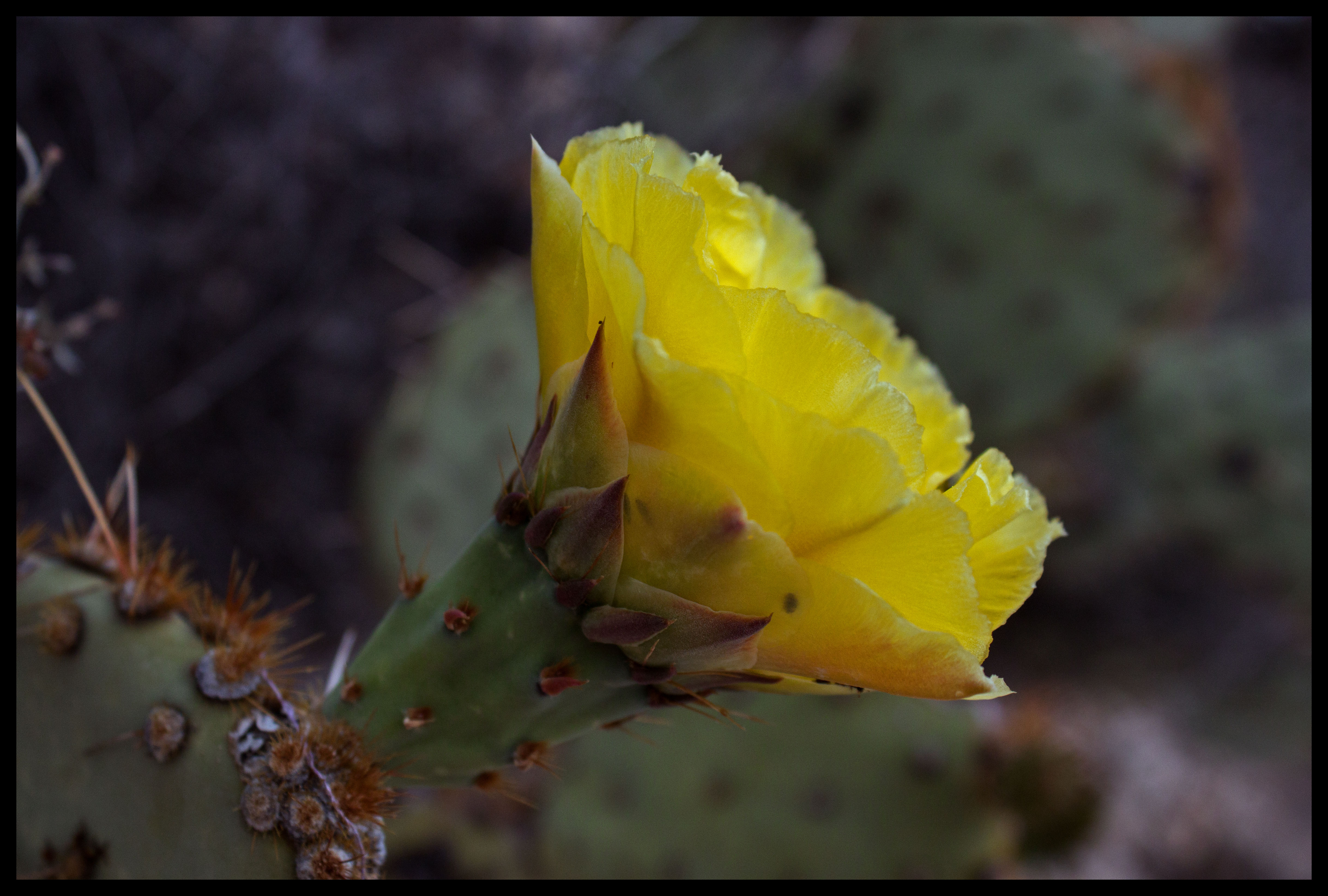
After crossing the river, you arrive at the Telephone Line Trail intersection and head off the paved road. It is 0.6 miles of gradual climbing before you reach the turnoff to Blackett’s Ridge. Unlike when I hiked Bear Canyon, the flowers were in bloom! I had picked a perfect day to hike. With overcast skies, the temperatures were cool and there was a persistent breeze at the higher elevations.

When I told the park ranger at the Visitor Center that I was hiking Blackett’s Ridge, she nodded knowingly and said “Ahhh, the stairmaster.” In the second half of the 3-mile journey to the summit, you climb 1400 feet in 1.7-miles. Total elevation gain is about 1800 feet.
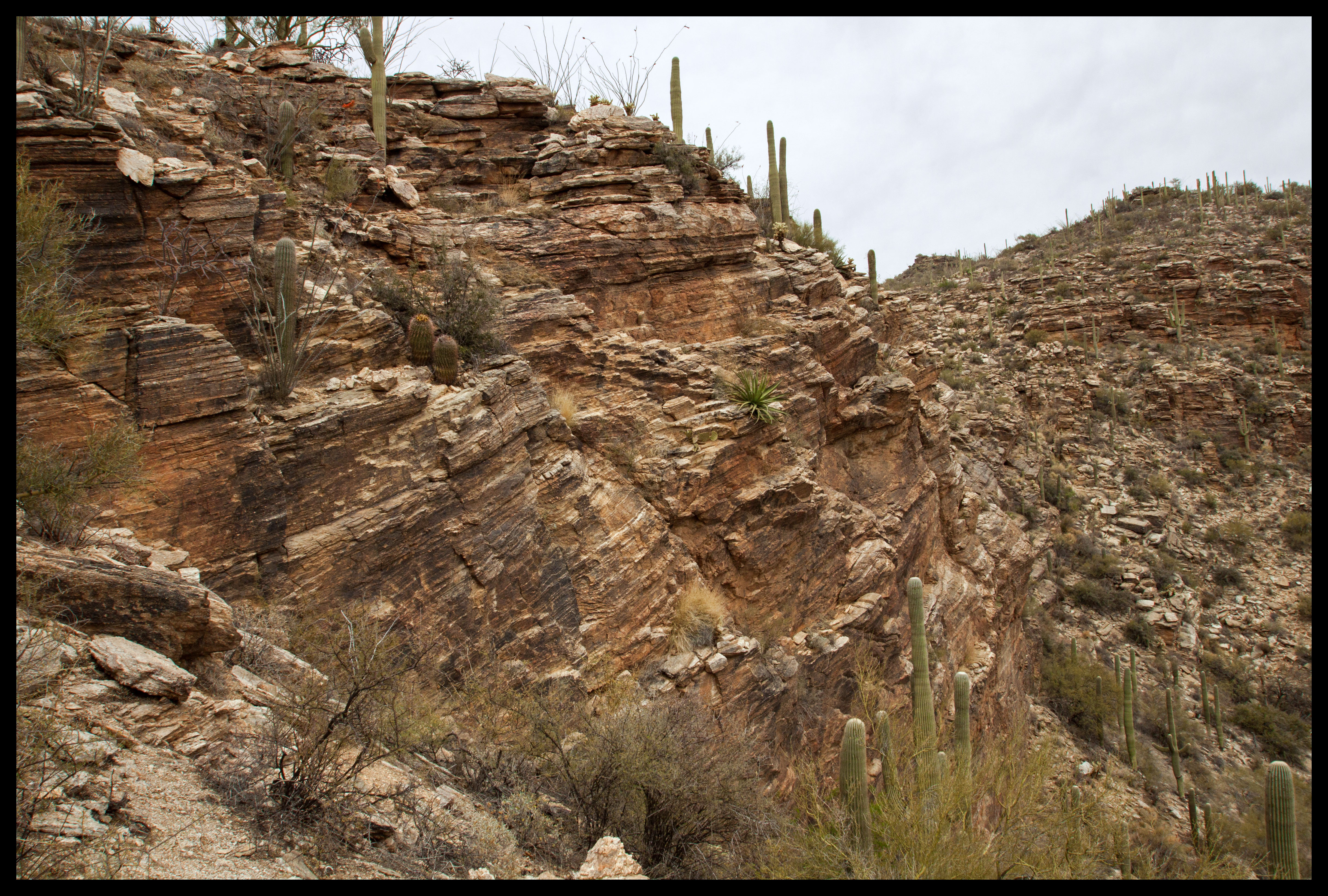
One thing that stood out to me when researching this hike was the number of people commenting on how you never seem to reach your destination. There are several “false summits” that you finally breach only to find out the trail continues. I counted about four major “false summits.” In the case of the first two, it’s pretty obvious you haven’t hiked 1.7 miles yet so they’re not that tricky. The second two are fairly close together, and you can tell you’re nearing the end.
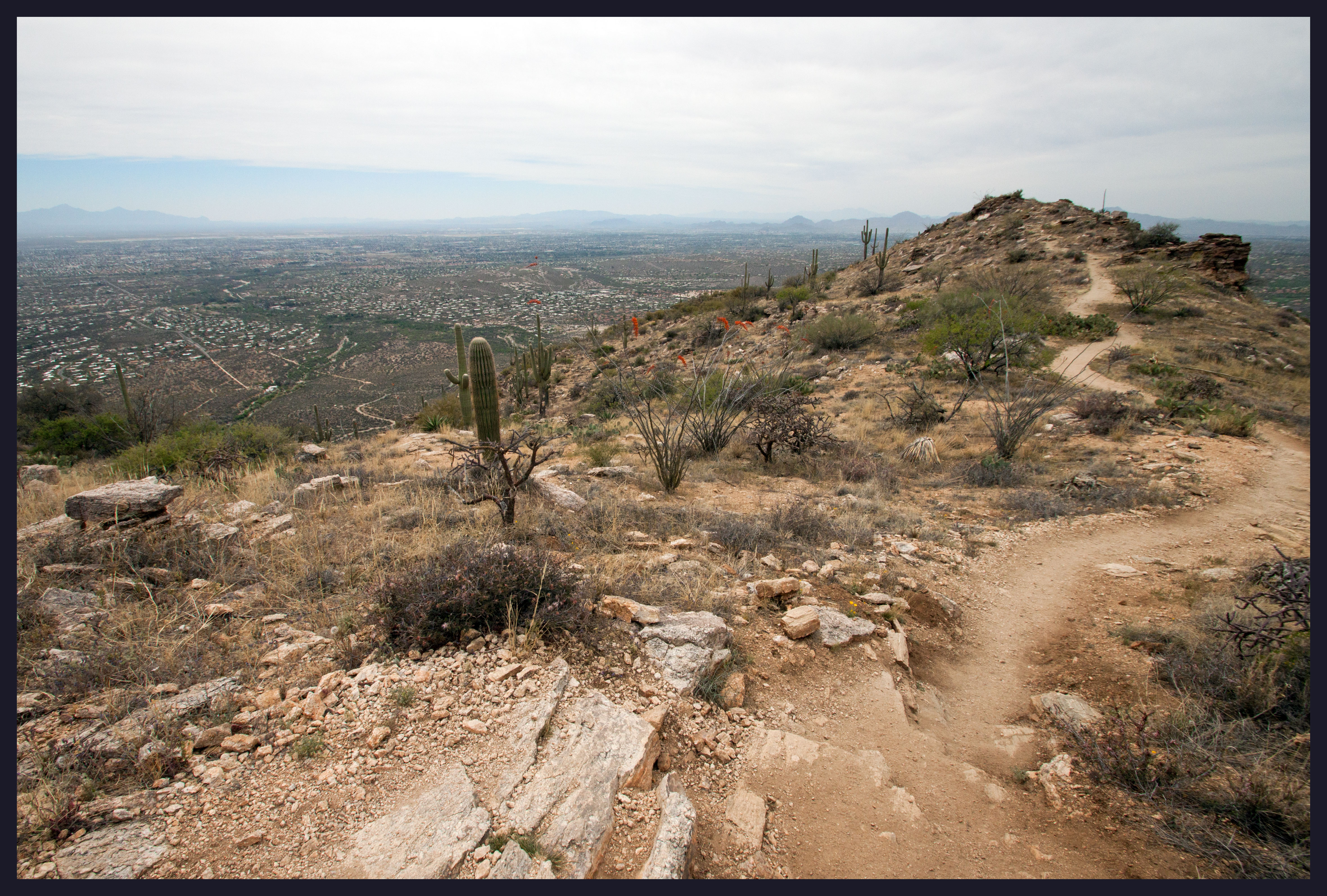
Eventually you can start to see down into Sabino Canyon, a hint that you’re nearing the end.

Be careful if it’s a windy day; the drops are severe! Looking down at the trams really puts it into perspective how high up you are.
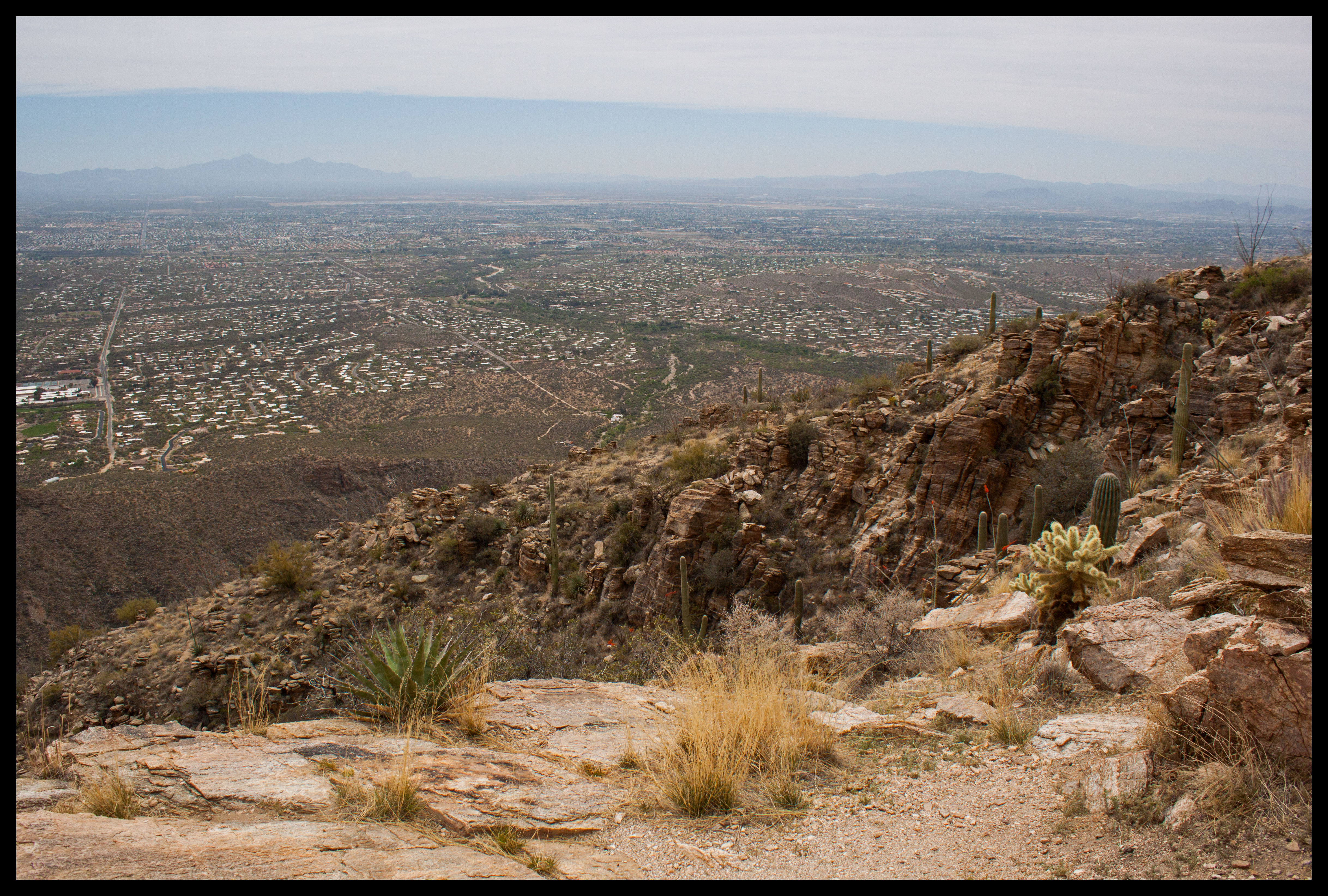
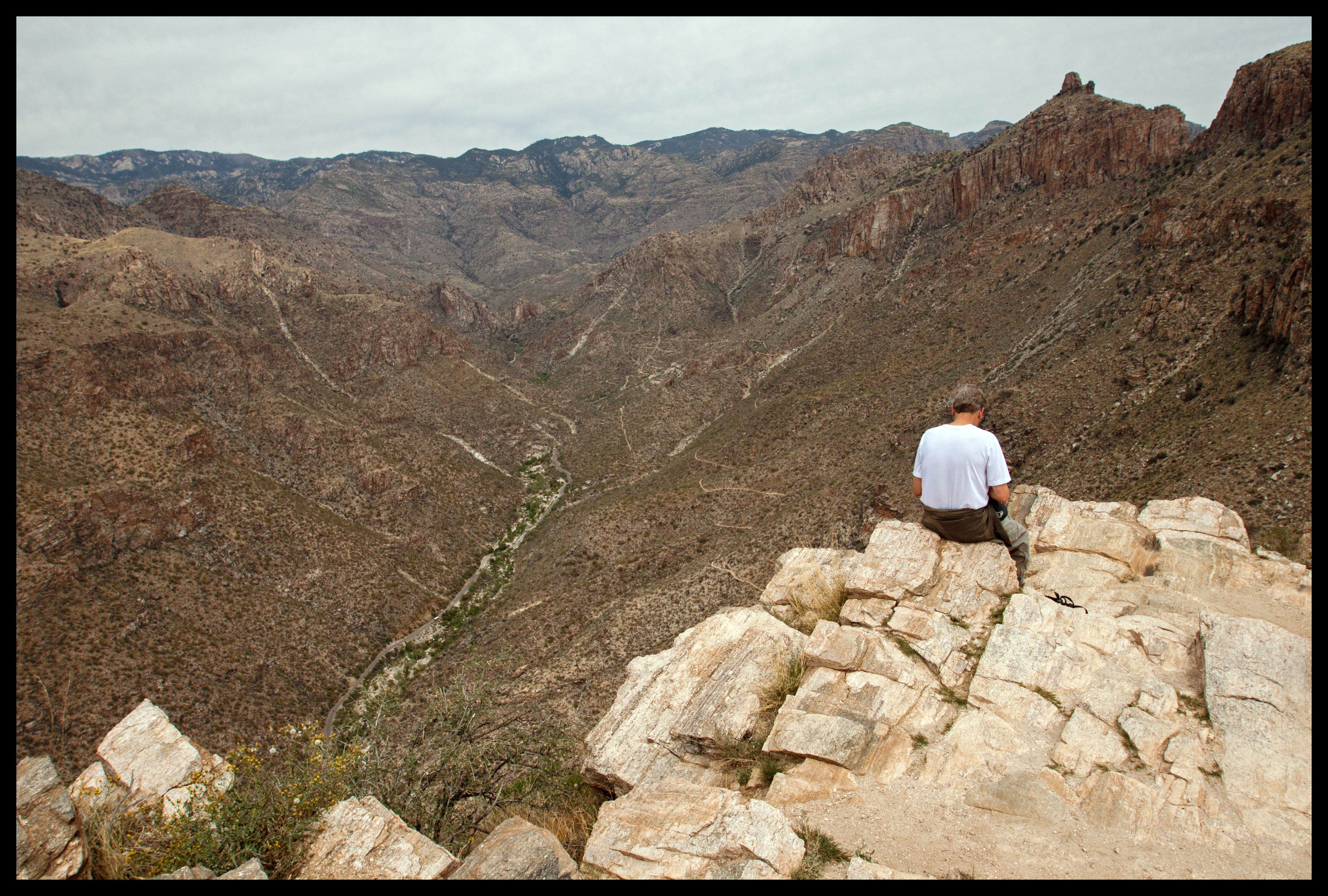
When you turn around to head back down, you can take in the entirety of Tucson. You can also get a severe case of vertigo if you notice how close the trail is to the cliffs.
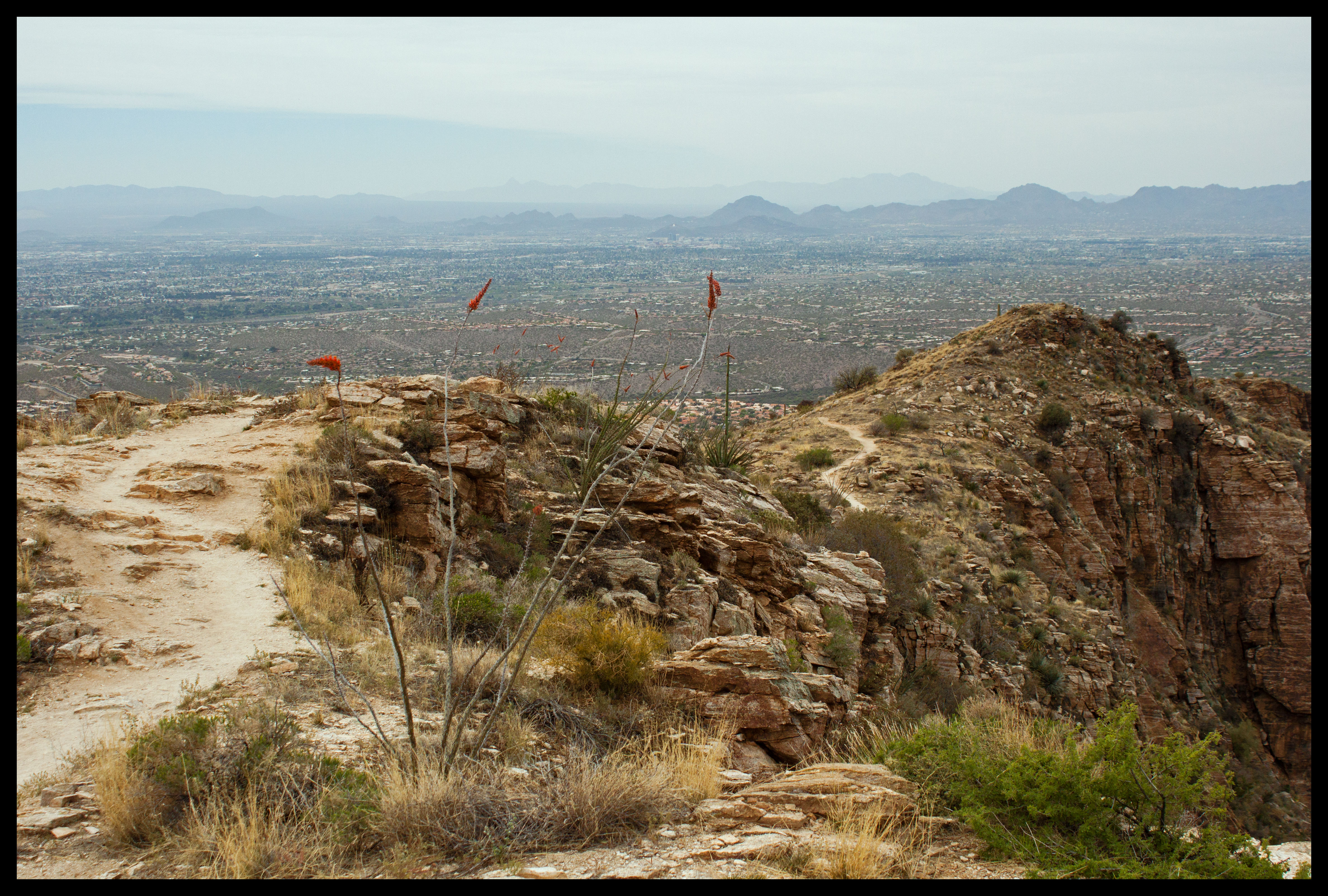
As you get to the lower elevations, you start to see flowers again.

PSA: Don’t be lazy about sunscreen, especially on this hike. I’m very well aware that you can still get burnt through clouds, and fully planned on applying sunscreen. However, I just kept thinking, “Ahhh I don’t want to get my hands all sticky before I eat, I’ll do it later.” Just get it over with so you don’t end up burnt like me!
Unlike most of my favorite hikes in the Tucson area, this one doesn’t include any water. However, the views down into the canyons and over the city of Tucson are worth it if you’re willing to make the climb!
