During our second day in Kauai the weather was much better, so we decided to do one of two hikes that we wanted to complete, a six-mile roundtrip of Awa’awapuhi Trail. Remember the Na Pali coast from the previous day? This hike starts above Waimea Canyon, in Koke’e State Park, and travels along one of those mountainous ridges toward the coast. When you reach the end of the trail you are at an overlook just by the ocean – but thousands of feet above it. The rest of our day was spent at various overlooks in the park, with dinner in Koloa on the way back to Kapa’a. The day’s route is shown below; while it looks like a long journey, Kauai is the smallest main island of the four, and the real time deterrent was the traffic.

Itinerary
8:00 – 1:00: Drive to and through Waimea Canyon State Park
1:00 – 5:00: Hike and Stay Koke’e (#3)
5:00 – 9:00: Hang in Koloa (#37) and drive back to Kapa’a
Waimea Canyon State Park
Waimea Canyon has several lookouts along the main drive, and we stopped at three of them. The first one, Waimea Canyon Lookout, is by far the most popular and where all of the famous pictures come from.
 Waimea Canyon is known as the Grand Canyon of the Pacific, and it’s easy to see why. While it may not be as wide or deep as the Grand Canyon, the colors are simply fantastic. We were viewing underneath a layer of clouds, but pictures of a sunny canyon show bright greens, deep reds and vibrant purples on occasion. Even if it was still cloudy, the weather was clearly much better than during our helicopter flight over the canyon.
Our second stop was at another overlook of Waimea Canyon and our third was at the very end of the drive (now turned in to Koke’e Drive), overlooking Kalalau Valley, another famous location on the Na Pali coast. The Na Pali coast is completely inaccessible by car, and mostly inaccessible by foot. However, at the northern end of the road is the infamous Kalalau Trail, which hikes 11 miles along the coast to the valley seen below. The Kalalau Trail was ranked as one of the 10 Most Dangerous Hikes in America, but it’s also known as one of the most mind-blowing hikes in all of Kauai. I hope to return one day to complete this hike and camp in the valley, but first I need to get on a stair master!
If it’s any indication of just how rugged this coast is, below is a picture at the attempt of a road along the Kalalau Valley.
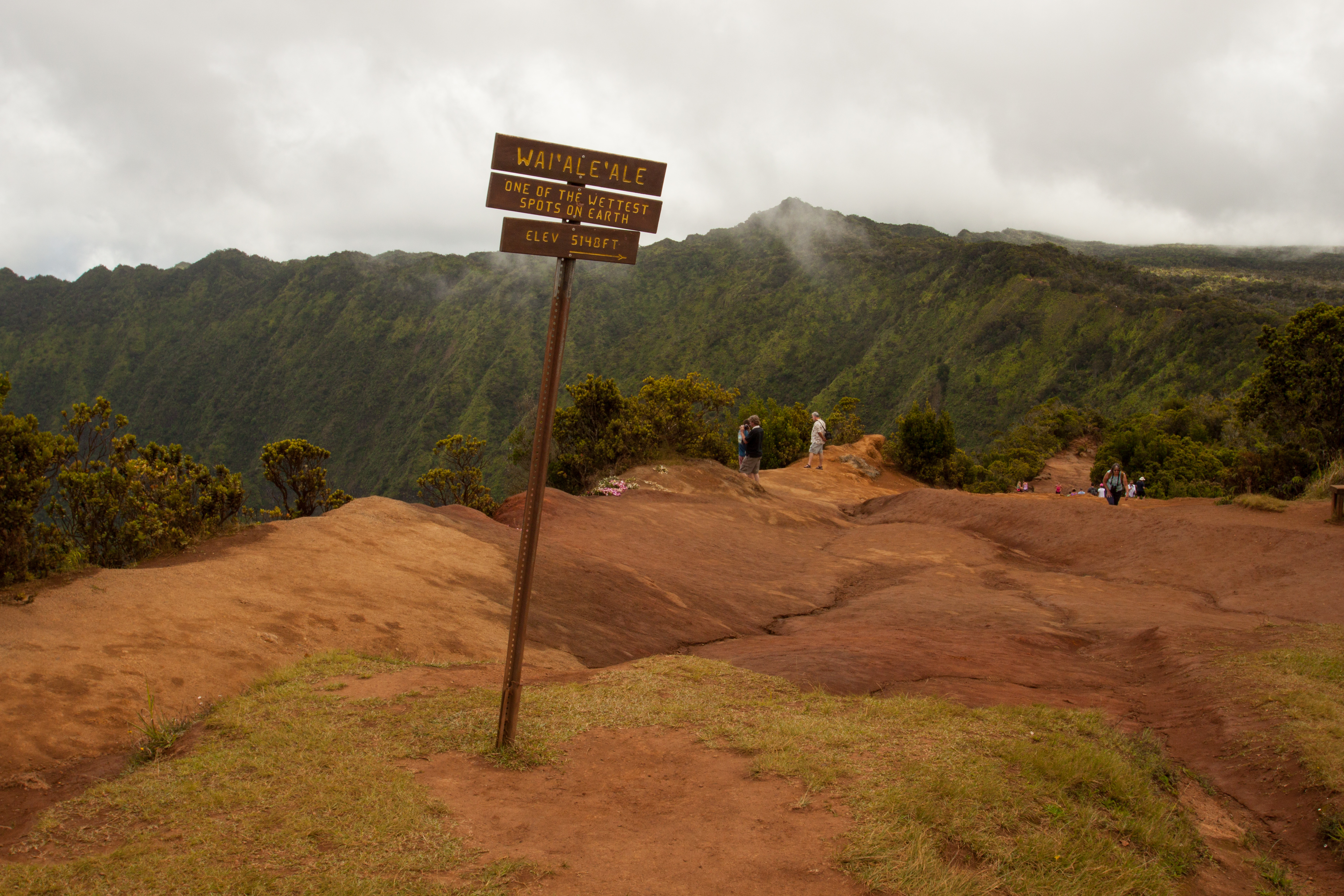
You may also remember Mt. Wai’ale’ale from the helicopter ride, one of the wettest locations on Earth. Once again we were very near the mountain summit, which is unfortunately inaccessible as well.
After finishing at Kalalau Valley, we returned to Koke’e State Park (adjoining Waimea Canyon State Park) for a quick lunch at the lodging grounds. It’s the only place to eat in the park and our opinions of the food were at the opposite end of the spectrum. But it was a quick meal, just what we needed for our upcoming hike.
Awa’awapuhi Trail
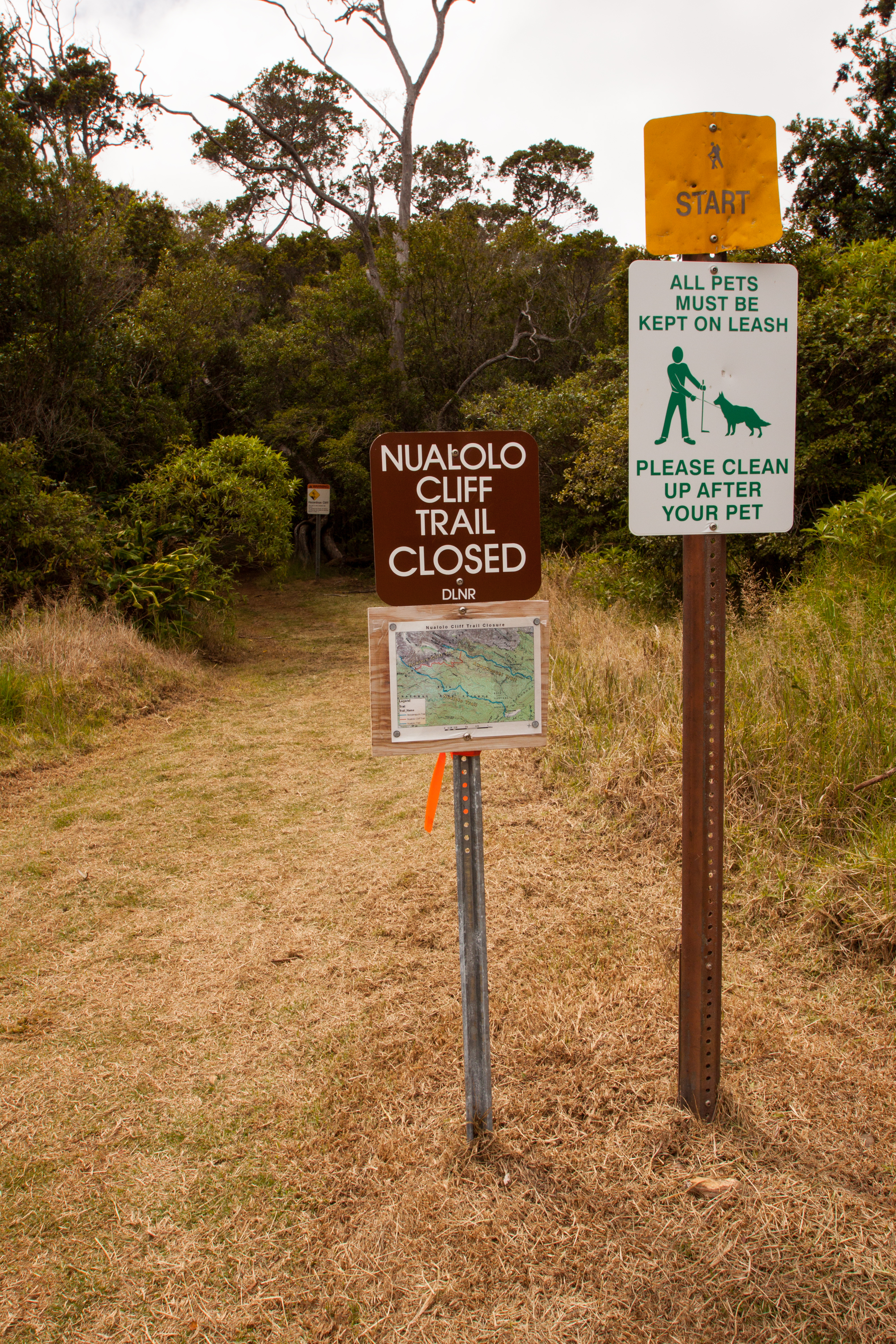
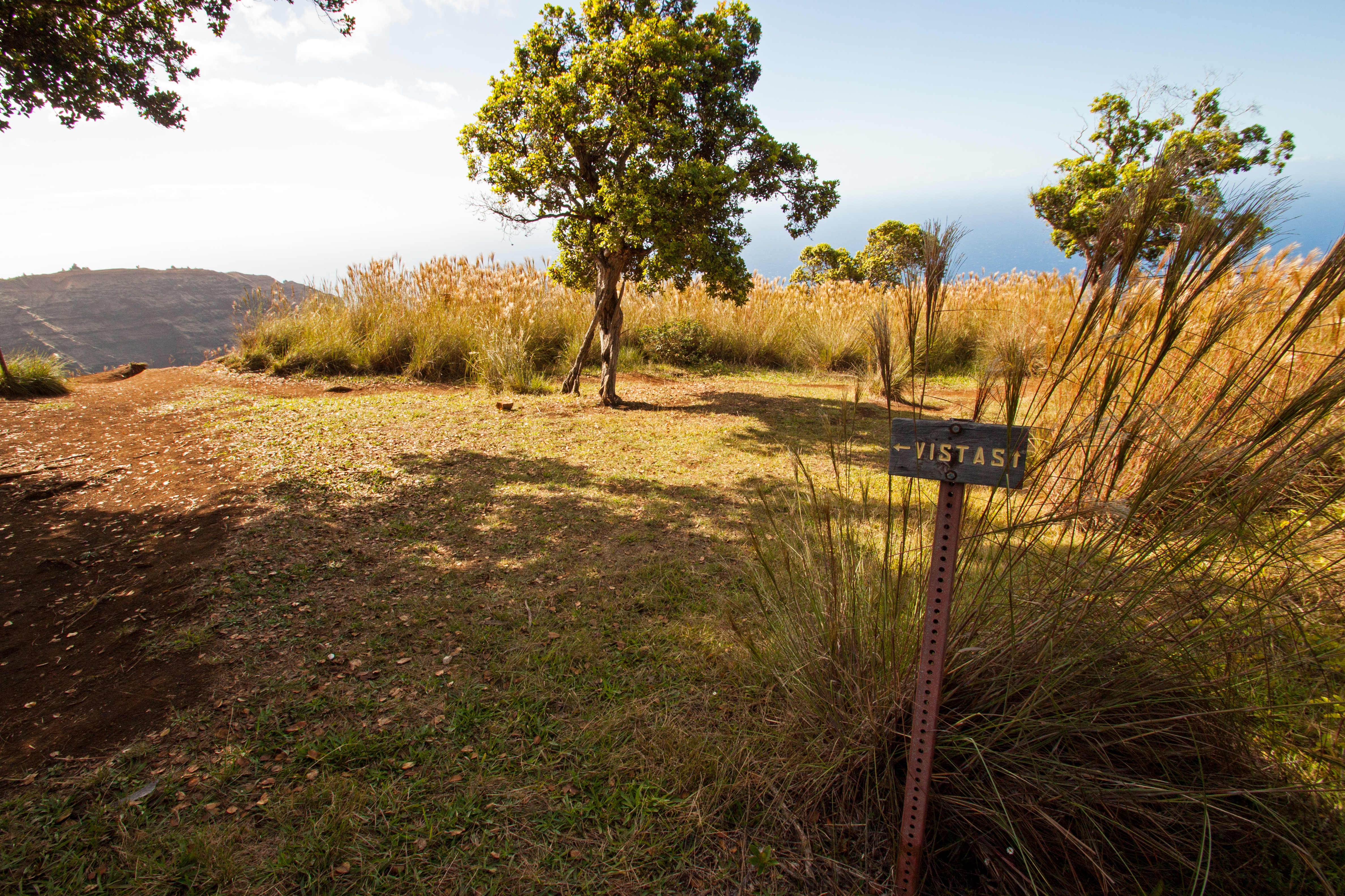
Awa’awapuhi Trail is the trail that begins in Koke’e State Park and heads toward the coastline, ending with sprawling views of valleys and thousand-foot drop offs. Our guide book suggested hiking to the end of Awa’awapuhi Trail and using Nu’alolo Cliffs Trail to connect to Nu’alolo Trail for the hike back up. This was at least a ten-mile round trip hike, and doesn’t include the walk back to your car. We went in with the plan of only doing Awa’awapuhi Trail and back – thankfully the Nu’alolo Cliffs Trail was closed due to recent rain anyway, so we didn’t feel like we missed out.
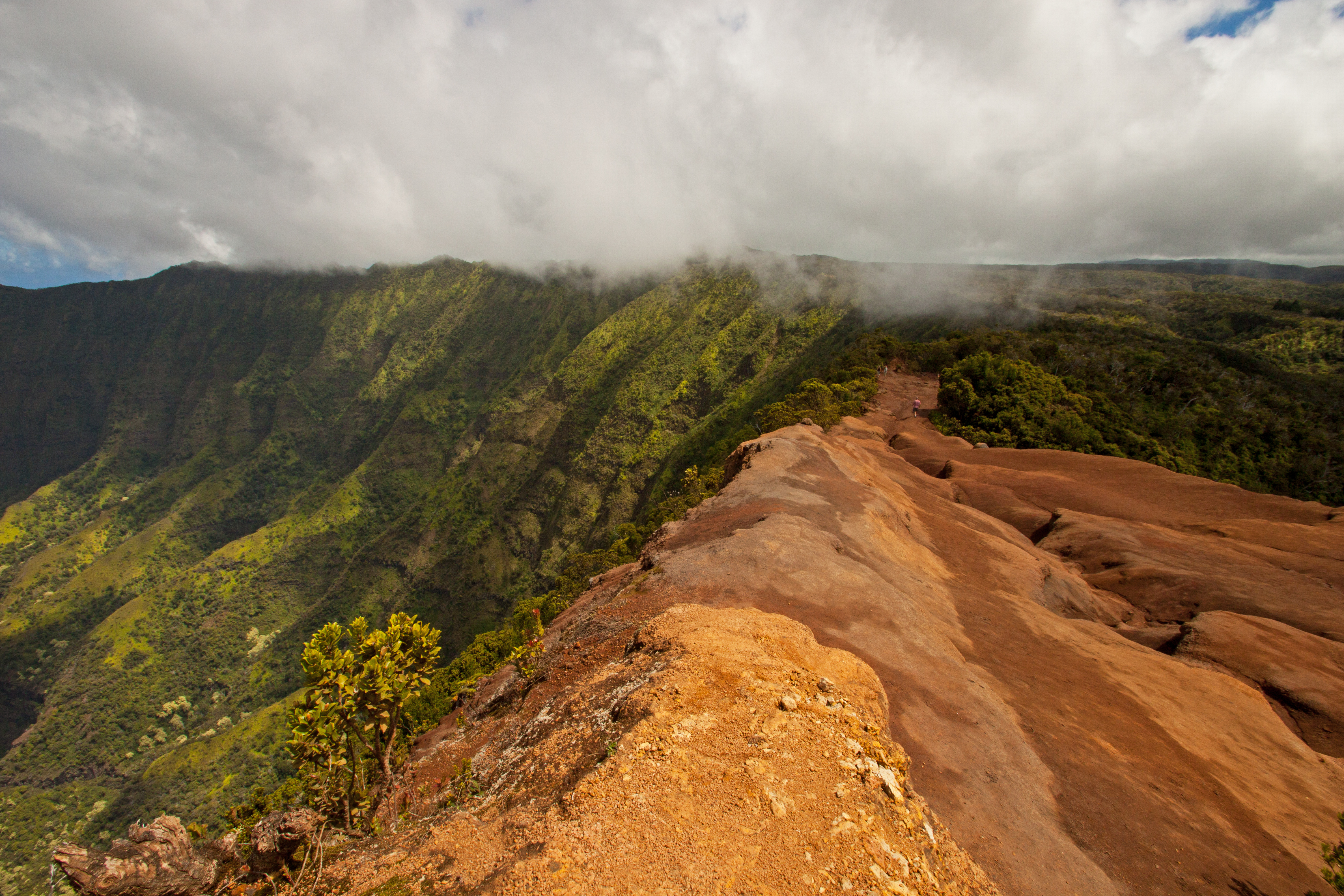
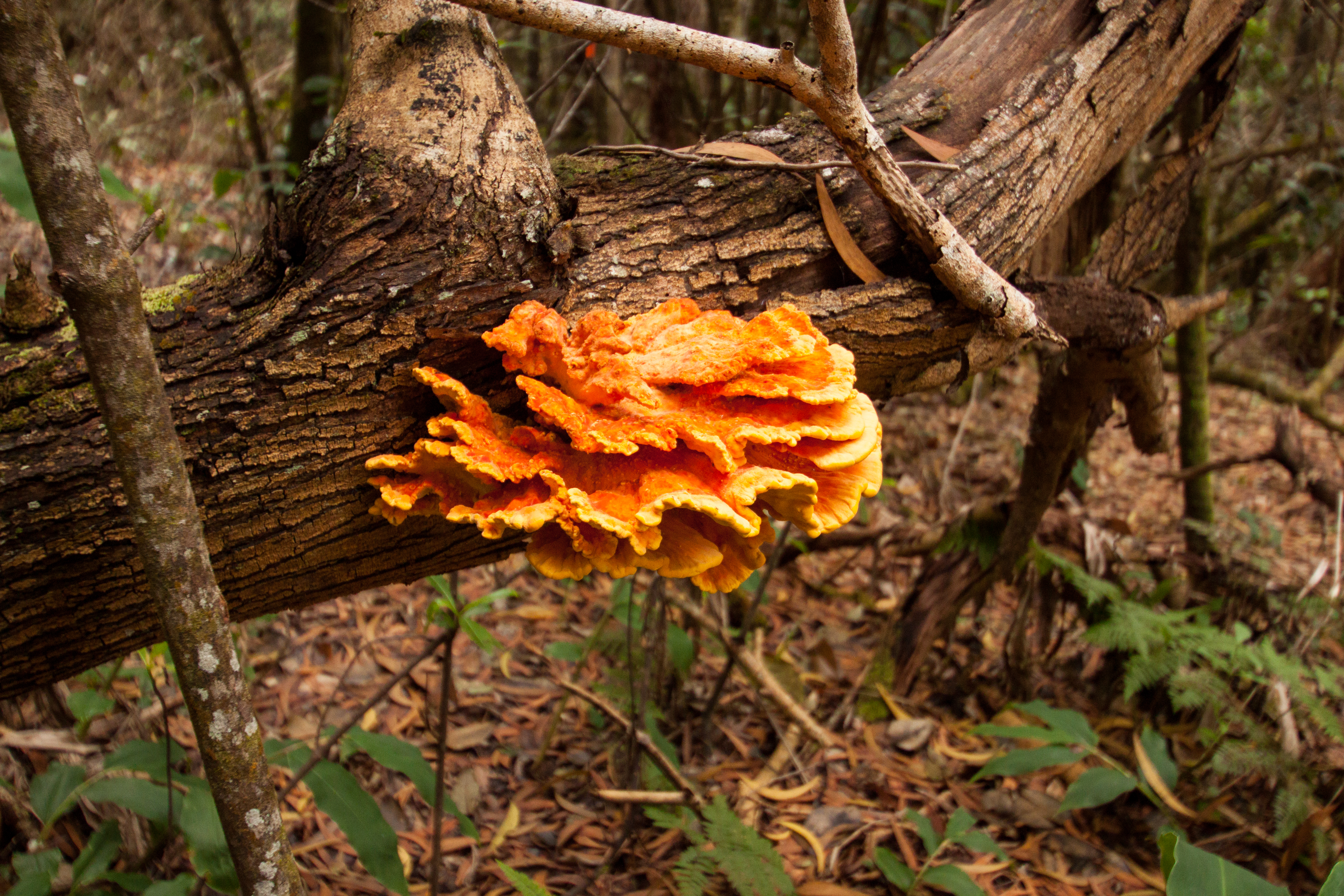
The Awa’awapuhi Trail descends 1500 feet in three miles, making it strenous on the knees hiking down and making you short of breath hiking up. The majority of the hike is through dense wooded forest though, shielding you from harsh sunlight and keeping you cool.
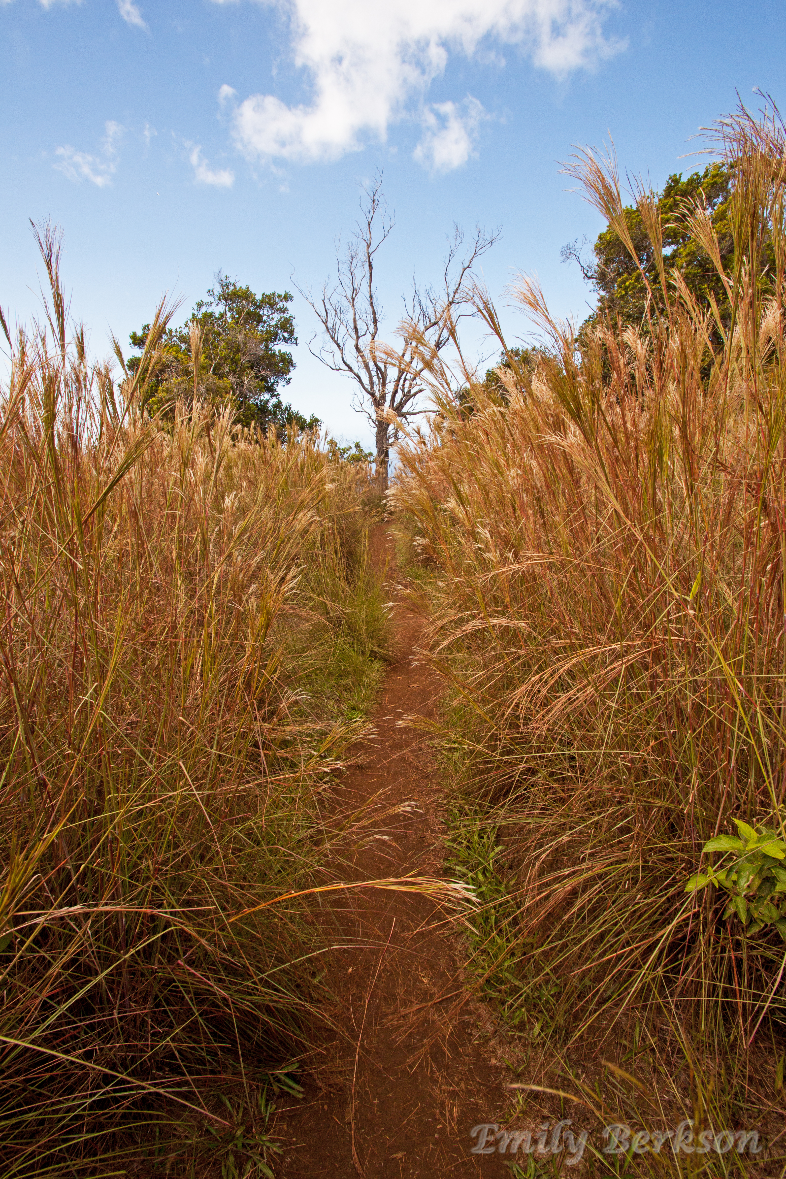
At times, we were walking along a two-foot wide trail with drop offs to either side. This was only noticeable if you really looked, since we were still surrounded by trees and brush. If you lost your footing you weren’t going anywhere, but the trail remained interesting at all times.
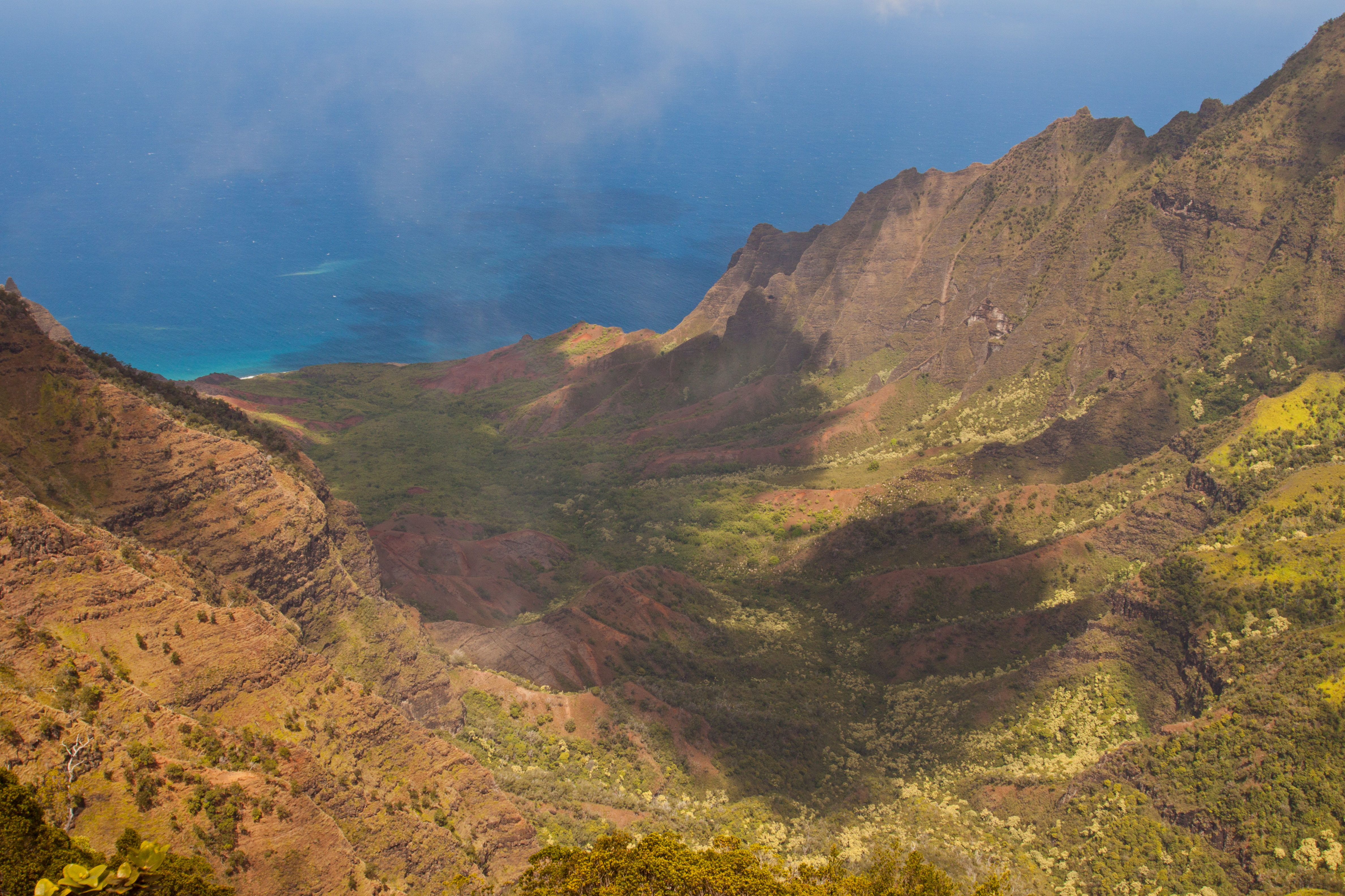
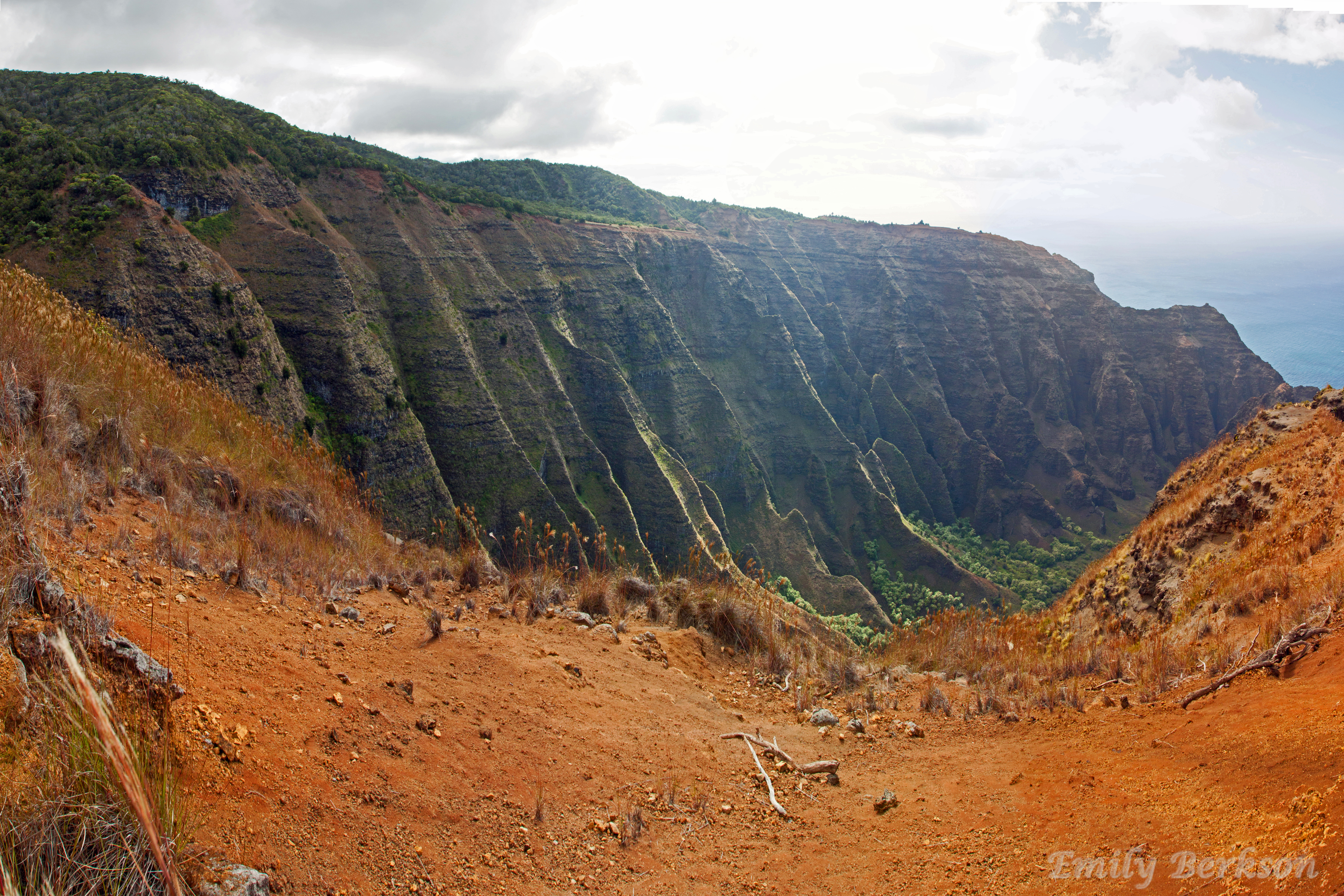
The end of the trail was absolutely worth the pain in our knees. Below is one view from the lookout, over Awa’awapuhi Valley. The rock is insanely crumbly here, and walking past the signs is extremely dangerous. Before coming I had seen pictures of people walking out to the edge, but once we got there and saw/felt the rock crumbling beneath our feet I was no longer interested. One wrong step and you get a couple thousand foot dirt and rock slide.
The other overlook was toward the ocean, and by following a hidden path to the right, we viewed Honopu Valley. It’s amazing how tall and thin these cliffs can get, but here they stand. I hadn’t heard of the hike along Honopu Valley, but this website shows incredible views I’d love to see on a return trip!
After taking a 20-minute break at the end of Awa’awapuhi Trail, we started the long hike back to the car. Needless to say, it was exhausting and we were both ready for a good dinner afterward. On our way out of Koke’e State Park and Waimea Canyon State Park, we stopped for one last look at Waimea Canyon Lookout and caught a surprise rainbow!
Hang in Koloa
After our hike, I was ready for a full plate of carbohydrates. We used the guidebook to pinpoint Italian places and settled on Pizzetta in Koloa. Koloa is historically famous for being the location of Hawaii’s first successful sugar plantation, but today it is more of a stop for the tourists staying in the resort area of Po’ipu. It was a nice quaint down with plenty of shops, most of which were already closed. However, what we came for, Pizzetta, was open and we had a phenomenal dinner there. Drinks, appetizers and pastas were all wonderful and exactly what we needed. The restaurant was probably a little nice for two hikers who smelled awful and had dirt caked on their legs, but the atmosphere was relaxing and laid-back. After the successful hike and a successful dinner, we made our way back to the hotel in Kapa’a to prepare for the next day’s adventures.
Next Up: Kalalau Trail

Waimea Canyon is fantastic but Kalalau Valley overlook is even more breathtaking in the photos, imo.
Thanks Roy! I’ve heard the same thing from other people. Hopefully one day I’ll be able to venture into the valley.