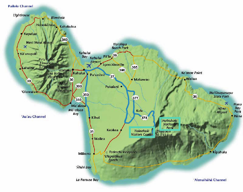
On our second day, right before the government shutdown, we decided to visit Mt. Haleakalā National Park once more, this time at the summit. We left around 8:00am again, and arrived around 10:00am to a summit that was full of clouds. Unfortunately, the clouds stuck around for most of the day, so this post could also be titled “Day of Clouds.” Below is the route we took, starting from Kihei:
 Itinerary
8:00 – 10:00: Drive to Mt. Haleakalā
10:00 – 5:00: Lunch, Upcountry: A State of Mind (#49), See Silversword: Maui’s Rare Plant (#7)
5:00 – 9:00: Drive back to Kihei and have dinner in Wailea!
Upcountry: A State of Mind
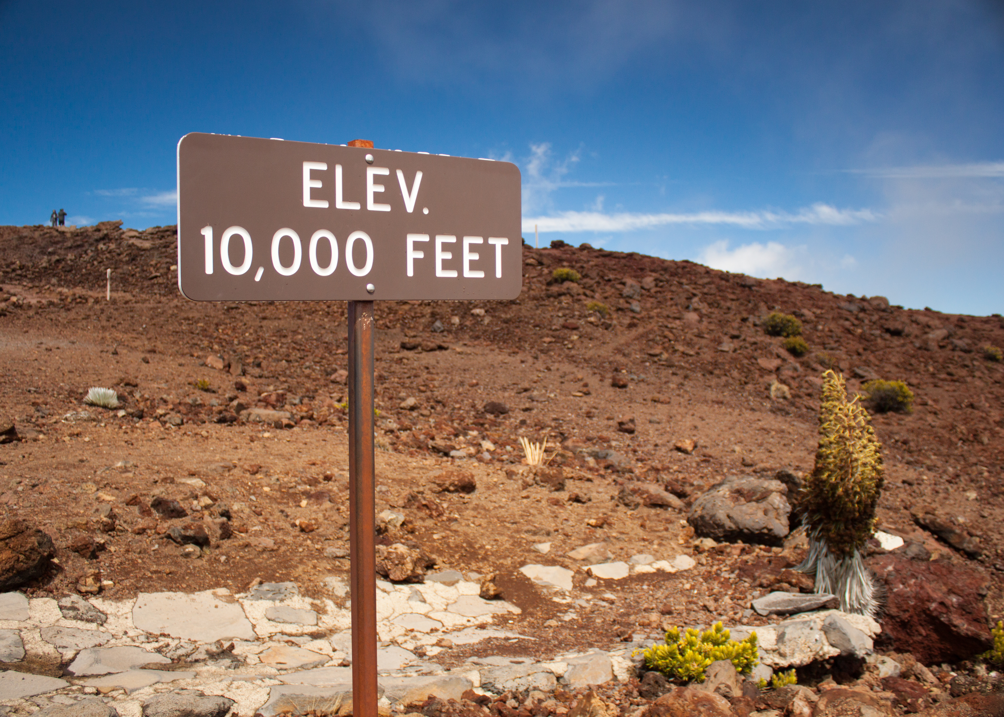
Mt. Haleakala, the volcano that created Maui, stands at 10,023 feet tall. While it normally lies above the cloud layer, the majority of our visit was socked in with limited views. The volcano created of all of east Maui, and the national park is home to numerous hikes (including yesterday’s), beautiful views of the island, astronomical telescopes and native legends. On our drive up we drove through heavy cloud cover, hoping that we would emerge on top of it as visitors commonly do. However, luck was not on our side. When we reached the summit we were greeted with frosty winds and more clouds.
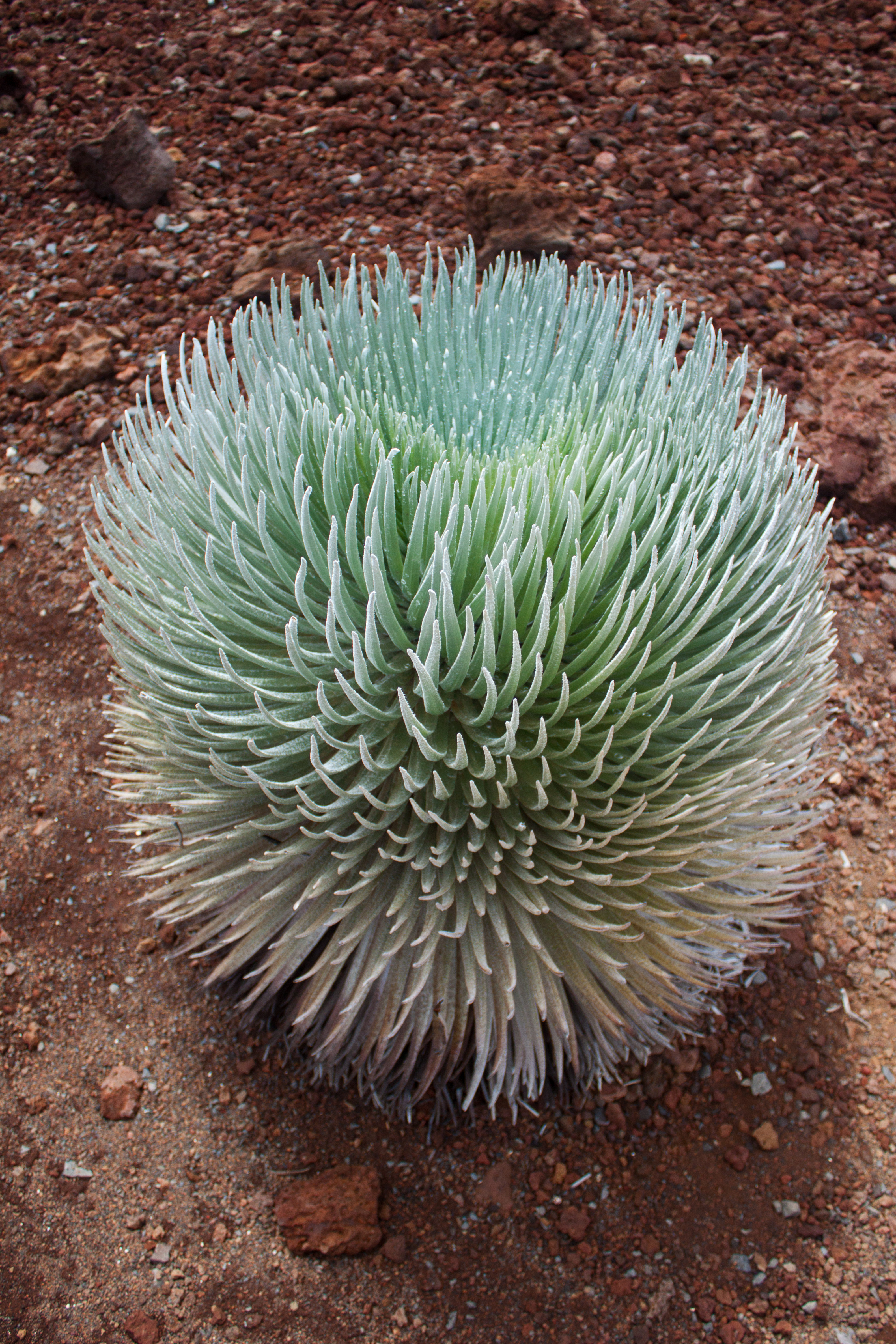
In the center of the parking lot is a nice display of Haleakalā silversword (‘ahinahina), which require a high elevation to thrive in. A million years ago, the first silversword was transported by bird from California to Maui. (A sign in the small shelter informs visitors that before humans arrived, alien species managed to find their way to the Hawaiian islands once every 10,000 years. Today, visitors introduce an average of twenty new species per year.) In recent history these plants were endangered. Thanks to conservation efforts by the national park, their numbers are growing again. They live on average around 50 years, and flower only once during their lifetime.
One of the few birds thriving on Mt. Haleakala, the chukar partridge. Since the air is so thin and the winds are so strong, these birds mostly walk and have become experienced beggars. We saw about a dozen of them pecking around the parking lot.
Turning the opposite direction from Mt. Haleakalā crater, you can see Maui’s version of Mauna Kea (sometimes known as Science City). Not quite as high or isolated, the peaks here still hold several research telescopes working on various projects from laser ranging to science education. We were lucky enough to get a quick glimpse of it before the clouds rolled back in.
After spending a freezing half hour at the summit, we drove down the volcano the equivalent of three degrees in temperature to reach the Visitor Center. Here we warmed up again, this time with the distraction of souvenirs, while hoping for a break in the clouds. Our quick view came after about a half hour and was gone within minutes. What we did see was almost how I would imagine a cross between Mars and Earth: brilliant red soil, untouched terrain and jagged crater boundaries. Although commonly referred to as Haleakalā Crater, this “crater” is likely the result of millions of years of erosion rather than a volcanic event.
More Upcountry
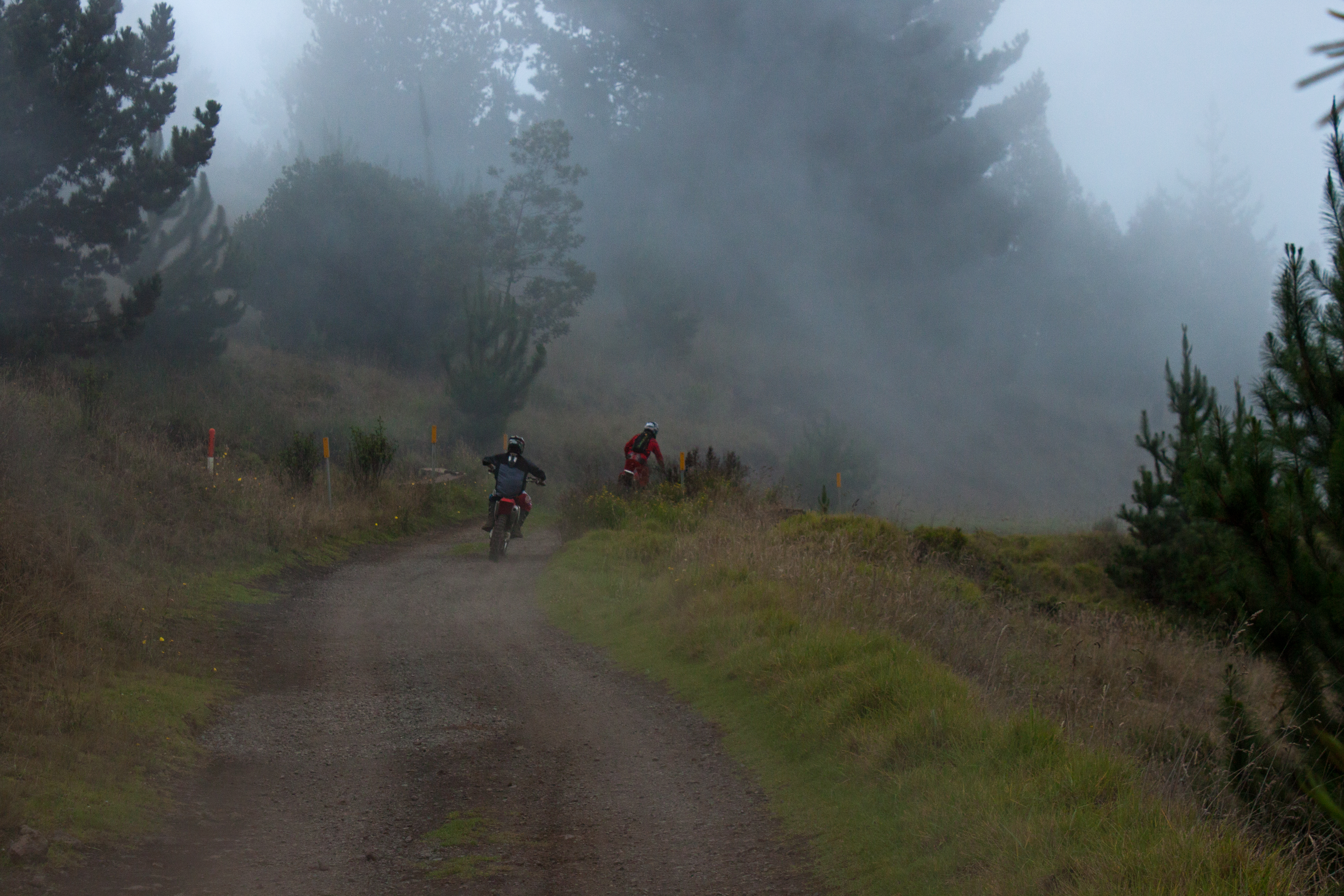
After visiting the summit of Mt. Haleakalā, we descended the volcano and made our way up in elevation along a different road. We went to the small area known as Kula and headed toward Polipoli State Park. Four miles before the end of the road, the pavement runs out and you’re driving over gravel. We wanted to make it to the end to hike through a redwood forest, but alas, our tiny Ford Focus probably couldn’t have handled it. Instead, we parked at the end of the paved section and walked along the rest of the road for awhile. Our guidebook states “it’s cool and misty and would seem to belong more to Northern California than the center of Maui” (Doughty). And with our day of clouds, mist was a sure thing.
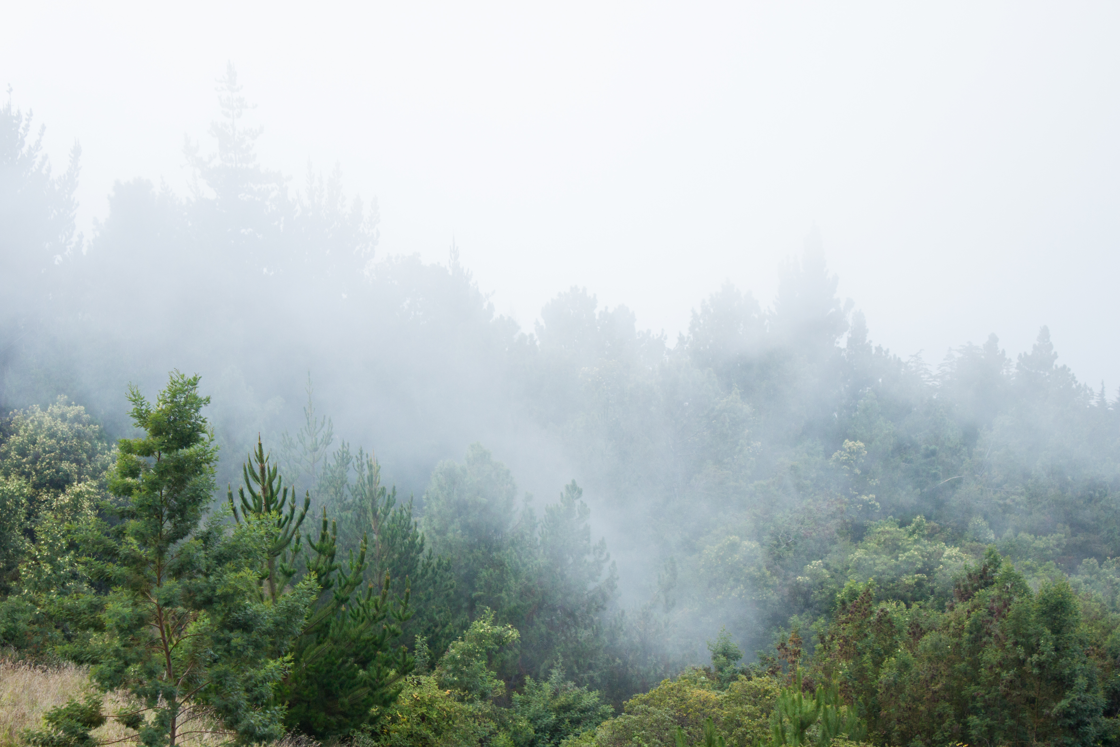
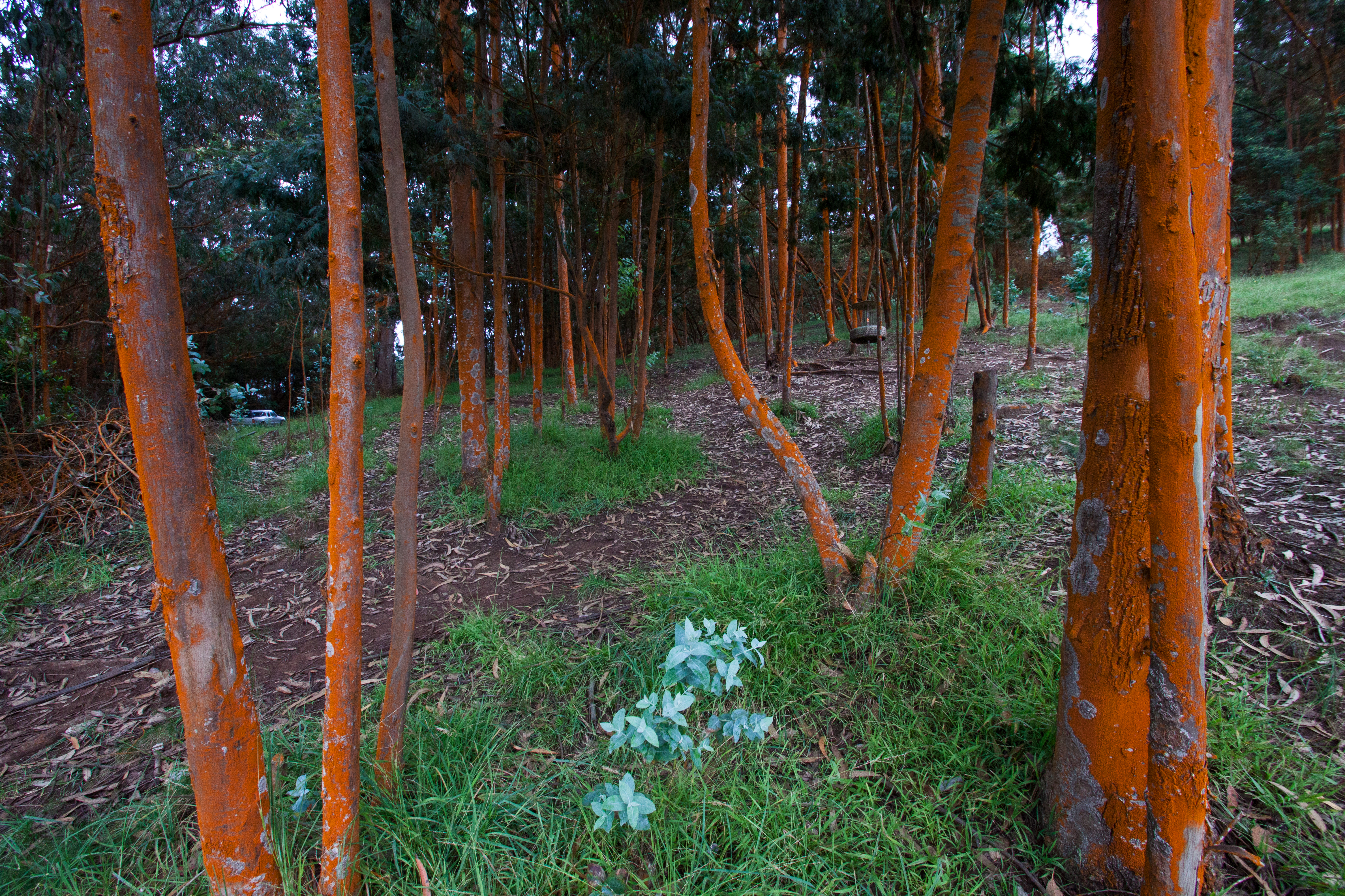
On our way back from the failed hike, we stopped along the paved road after it came out of the tree line. Turning back toward the gently rising land, you could look through mini-forests of shockingly bright red trees. Turning toward the lowland would provide a spectacular view of Maui on a clear day.
Wailea
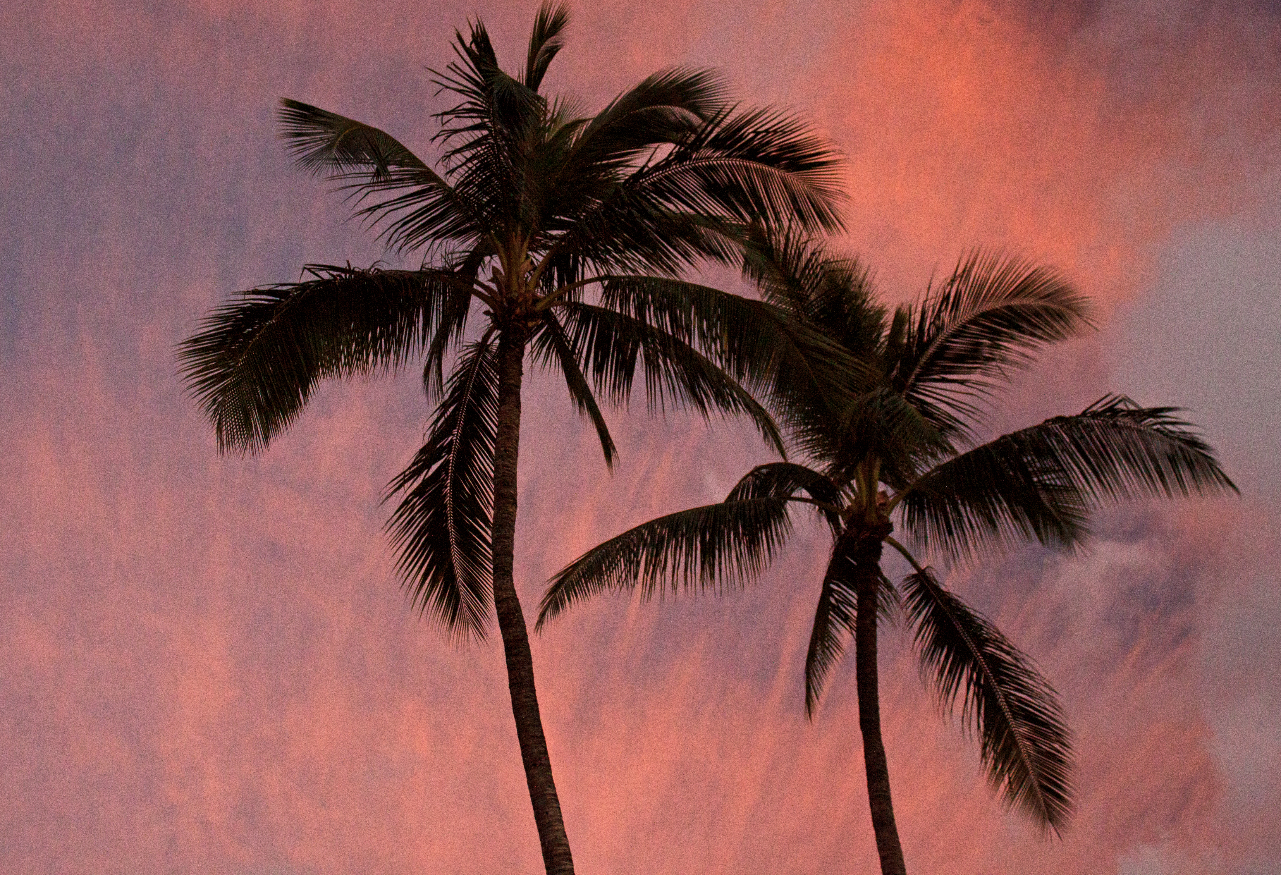
Wailea is located in south Maui and holds many of the island’s high-quality resorts and dining options. We decided to drive down there for dinner at Monkeypod Kitchen, owned by Peter Merriman, famous for restaurants all throughout Hawaii. Ironically, we ate at several of his restaurants during the course of the trip, although this was the first. Before dining though, we took a few minutes to walk along the beach in hopes of a sunset. While the sun was of course blocked by clouds as it set, we still received a nice display of colors reflected off of clouds in the sky.
See you next time for the last Maui blog post of this trip!
Next Up: Nakalele Blowhole
